KTP welcomes new Geoserver
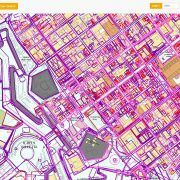
The Planning Authority has recently launched a new online geographic information system (GIS) that allows users to access planning data in a fast, efficient and user-friendly manner, particular when compared with the previous system that had been in place for a number of years.
The new GeoServer provides significant functionality, and will also allow for the sharing of data gathered by other departments and authorities.
The Kamra tal-Periti congratulates the Planning Authority on the launch of its new portal, particularly in view of its speed and the upgraded graphic representation of data.


